our data
ecological data
The BCMCA held five workshops and invited experts in their field to participate. At these workshops, experts identified ecological data to incorporate in this analysis and were asked important questions to help define the analysis parameters.

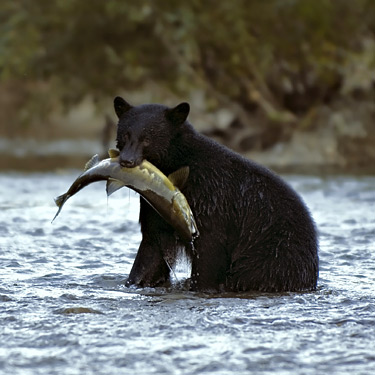
photo by David Hutchison
The experts were responsible for contributing to the scientific rigour of the BCMCA. A workshop report was drafted and reviewed by the participants for each of the following areas of expertise (all expert reviews complete):
- Report on Seabirds (PDF);
- Report on Marine Plants (PDF);
- Report on Marine Mammals (PDF);
- Report on Marine and Anadromous Fish (PDF); and
- Report on Marine Invertebrates (PDF).
Expert recommendations on data and features to represent the physical marine environment, or abiotic realm, were also gathered. The BCMCA invited a team of reviewers to comment on proposed methods and data sources and to recommend alternative methods and data where they saw fit.
The Project Team assembled and collated the ecological data into features. Please visit the document library for a complete listing of the assembled ecological features along with a description of each feature and HTML metadata.
human use data
Canada’s Pacific Ocean is host to a growing number of human activities. In 2007, estimates of the annual contribution of the ocean sector to the British Columbia (BC) economy exceeded $1.1 billion. The BCMCA Marine Atlas of Pacific Canada contains maps identifying where these diverse and valuable marine activities take place on the BC coast.

photo by Jocelyn Mandryk
Each map represents the best available information about a particular type of marine activity (for example, commercial halibut fishing or sea kayaking) at a scale that is relevant to coastwide analyses. The BCMCA also recognizes that Canada’s Pacific Ocean may be used in new ways in the future. The BCMCA attempts to represent where these potential uses may occur to the extent that information exists.
The human use themes that are mapped include marine areas important for commercial fisheries, recreational fisheries, shipping and marine transportation, ocean energy, recreation and tourism, and marine or foreshore tenures such as aquaculture or log booms.
Please see our data library to view the data assembled.
How was this done?
Human use data sets were assembled from existing sources such as government databases, academic research results, and participatory mapping excercises. Similar to the review process for ecological data, the BCMCA invited the relevant user groups and the management agencies responsible for regulating different human uses to review the human use data. In particular, the BCMCA asked the reviewers:
- to assess the accuracy, completeness, and gaps in the data assembled by the BCMCA; and
- to determine whether they were able and willing to identify and provide additional spatial information about any marine uses at a coast-wide or regional scale that could add to the information collected by the BCMCA, and if so, how any spatial information they contribute could be shared with project partners and the broader public.

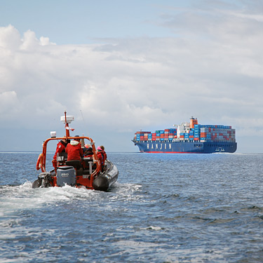
photo by Jen LeMercier / Rocketday
The review commentary was recorded by the BCMCA and summarized in reports. The BCMCA addressed the review commentary wherever possible while respecting the goals, principles, and intended products of the project.
The user group review of human use data was one component of the BCMCA’s broader effort to engage user groups at each step of the project.
